Carlson Software
World Renowned Essentials
With powerful software, comprehensive yet easy-to-use features, backed by dedicated customer service, Carlson Software is used world-wide by professionals in land surveying, civil engineering, construction, machine control, mining, and crash/crime investigation.
Featured Bundles
Optimize your workflows and keep more dollars in your pocket with these productivity boosting bundles.
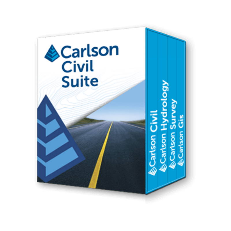
Carlson Civil Suite
Carlson Software’s Civil Suite is a powerful software bundle made up of: Carlson Survey, Carlson Civil, Carlson Hydrology, and Carlson GIS.
These four civil-related modular programs, working together, will allow you to create all of your deliverables at a fraction of the long-term costs compared to other software alternatives.
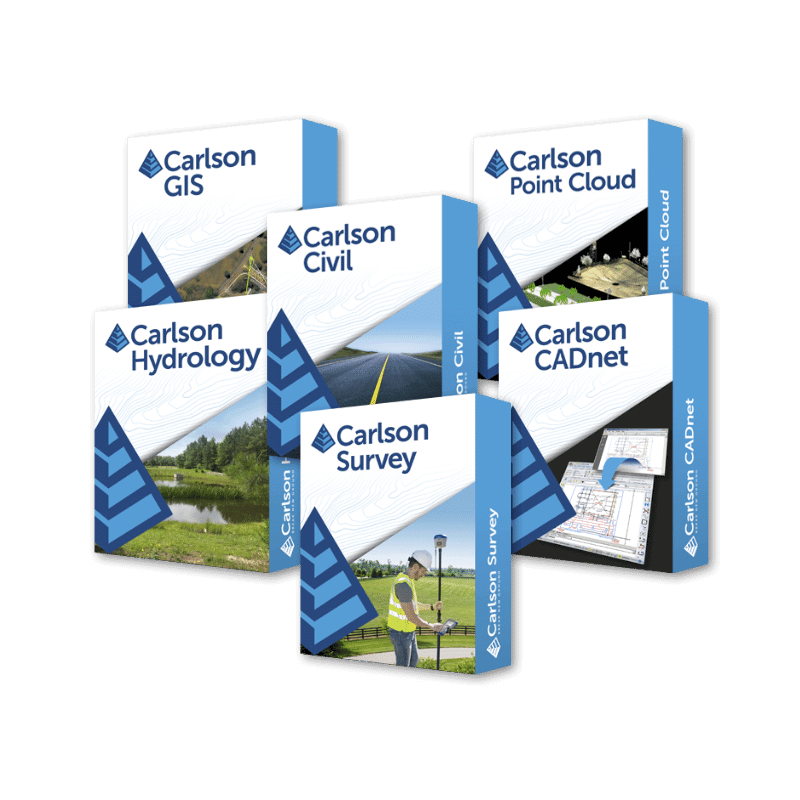
Carlson Select Suite
Carlson Software produces a complete suite of solutions for land development professionals across the disciplines of drafting, land surveying, engineering design, and construction estimating.
With the Select Suite, customers are able to pick and save between two and six modules in order to fit their specific needs and specialization.
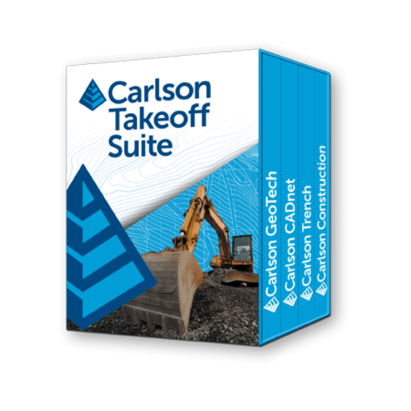
Carlson Takeoff Suite
The Takeoff Suite is comprised of the modules Carlson CADnet, Carlson Trench, and Carlson GeoTech combined with Carlson Construction.
All are fully integrated with Carlson Civil and Hydrology to meet the variety of customers’ needs.
All Carlson Software
View the complete suite of solutions for land development professionals. Whether your discipline is in data collection, surveying, engineering design or drafting, you’ll find the software solution that exceeds your needs.
Are you in law enforcement or a law consultant? Carlson also offers field and office software for accident and crime reconstruction.

Carlson Survey
Designed to complement land surveying operations & provides a variety of survey features to process data from surface modeling to Least Squares Network Adjustment.
Carlson Civil
Carlson Civil provides the most robust automation and ease-of-use of any civil design solution available today, and it does dynamic updating without a single custom object.
Carlson Hydrology
Comprehensive, yet easy-to-master, Carlson Hydrology provides the automation to meet your hydrology needs and all in the CAD environment of polylines, text, and layers.
Carlson GIS
With tools for data capture and linking, data labeling, import/export of SHP files, polygon topology creation and analysis, and more, This is a true GIS “Swiss Army Knife” for the surveyor or engineer.
Carlson Point Cloud
Carlson Point Cloud delivers a whole new level of powerful automation for large data sets. It gives laser scanner users the ability to process millions of data points with Carlson Software ease-of-use and also allows users to export surface models, points, contours, breaklines, grid and profiles to CAD.
Carlson CADnet
Carlson CADnet allows users to create CAD from non-CAD documents such as PDFs, raster images, and paper plans. CAD text can also be generated from raster images with CADnet’s built-in Optical Character Recognition (OCR).
Carlson GeoTech
Carlson GeoTech provides the ability to import borehole data for analyzing subsurface conditions & material. It will model all core samples and produce a detailed, easy-to-read report for drill logs, cross sections, and plan view.
Carlson Trench
For calculating pipe installations, sewers, & utility lines. Carlson Trench determines the volume of the trench cut, back-fill volume (excluding pipe size), and the linear footage of piping by pipe material, size, and depth.
Carlson Construction
Carlson Construction is an integrated cut/fill takeoff and 3D surface modeling software solution designed for site and road construction. It offers powerful inspection and tools for elevating 2D designs to 3D model files.
Carlson P3D Topo
Designed for use by surveyors, civil engineers, and contractors, Precision 3D Topo allows users to import survey data, points, polylines, surfaces, point clouds, both traditional LIDAR and aerial drone survey data, and more from a wide variety of programs and entities to create usable 3D surfaces.
Carlson P3D Hydro
Carlson Precision 3D Hydro is a powerful 3D editing software for designing storm-water related systems. P3D Hydro allows drag-and-drop options for strategically placing pipes and culverts and for selecting headwalls and endwalls. It enables the sizing of culverts and delineation of drainage areas, plus tracking of runoff from surface models.
Carlson P3D Drill & Blast
Drill and Blast allows for quick and easy blast pattern layouts, with real time 3D editing and instant feedback. Criteria such as distance from the highwall face, or comparison of design vs. as-drilled hole locations are analyzed the entire length of each hole and color coded warnings indicate if there is a discrepancy.
Carlson CSI Office
Carlson CSI Office is designed with powerful forensic diagramming capabilities to measure and map crime scenes and traffic accidents. CSI is ideal for city and county police departments, State Police and consulting firms engaged in accident reconstruction.
On its own or together with CSI Mobile, CSI Office can effectively and accurately reconstruct crash or crime scenes, complete with full 3D scene viewing.
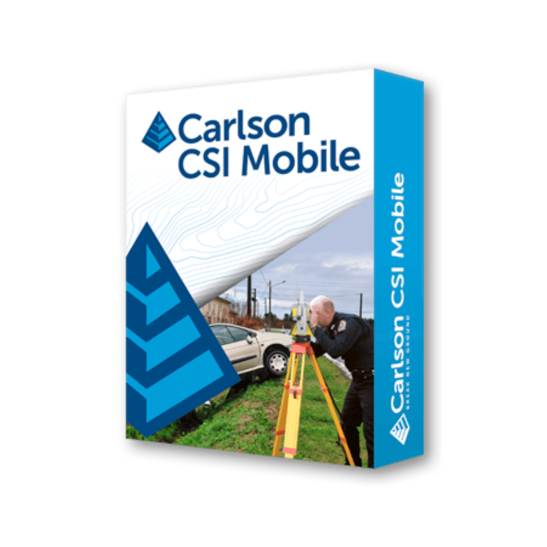
Carlson CSI Mobile
Carlson CSI Mobile is easy-to-learn and -use crash/crime scene software that utilizes the top data collection technology of Carlson Software, which has been adapted by police professionals for law enforcement’s specific needs.
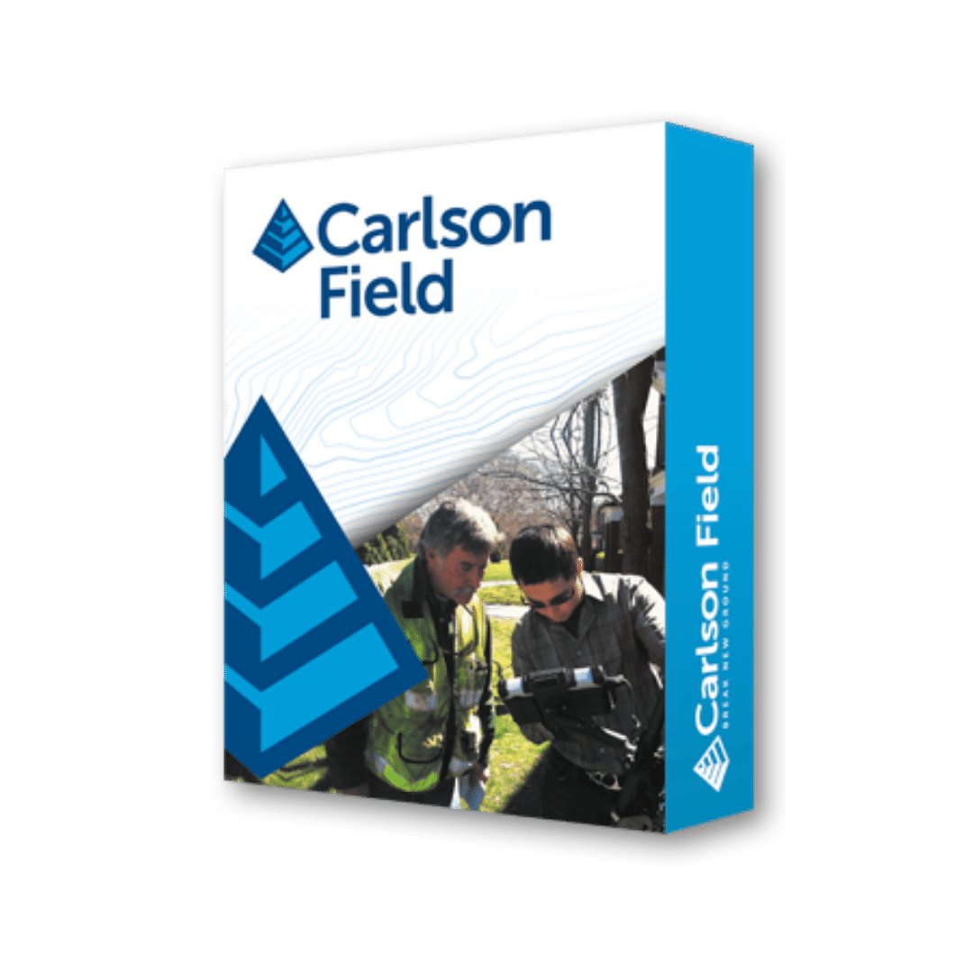
Carlson Field
Carlson Field enables real-time surveying in CAD on ruggedized PC/laptop omputers. Users can not only collect data in the field, they can accomplish any basic OGO operation and also any high-level CAD operation.
It is also possible to stakeout building corners, lot corners, or any CAD feature by “snapping” to the CAD entity—without creating point numbers.
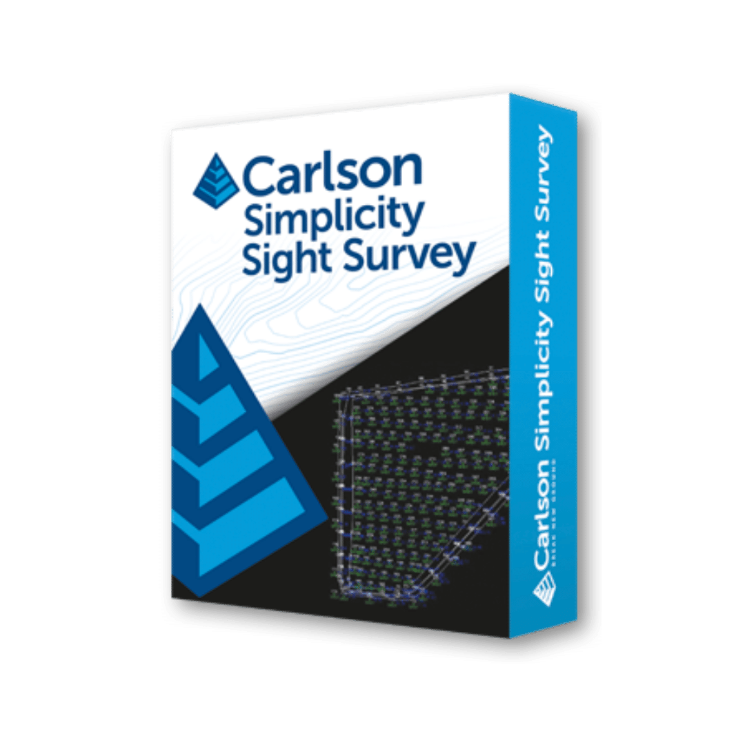
Carlson Simplicity Sight Survey
A Windows-based coordinate geometry program, Simplicity provides simplified methods for solving commonly encountered coordinate geometry and construction surveying problems.
It can also run without a CAD application, giving its users ultimate flexibility in a COGO program.
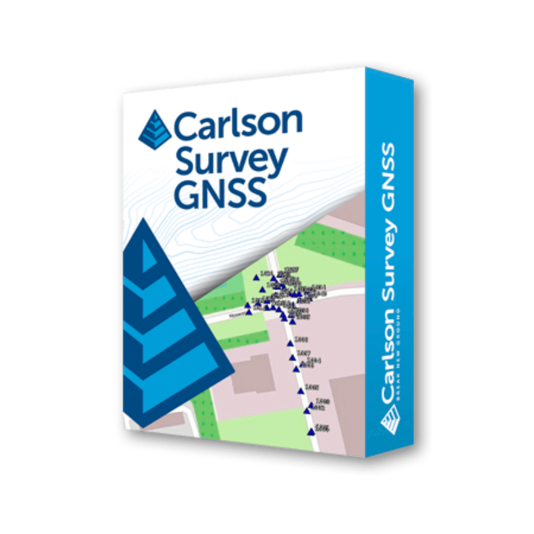
Carlson Survey GNSS
Carlson Survey GNSS post-processing software is a reliable and precise tool for all post-processing applications and is tightly integrated into the Carlson field and office workflow.
For surveyors and positioning professionals looking to achieve centimeter accuracy when working on the edge of their RTK infrastructure, perform sub-centimeter positioning, and/or provide the highest quality assurance to their customers, Survey GNSS is the solution.
Carlson iCAD
Carlson iCAD is an affordable CAD program that is .dwg file based & built with IntelliCAD®. In addition to the full-featured CAD functions of IntelliCAD, Carlson iCAD includes many handy drafting and annotation commands from Carlson Software such as Polyline Utilities & Auto Annotate and is designed to fit into your production workflow.
Carlson iCAD allows drafters to finish drawings and engineers to review drawings.
Carlson SurvPC
There’s a reason surveyors make Carlson their first choice in data collection software. SurvPC (for Windows) and SurvCE (for Windows Mobile) combine advanced functionality, ease-of-use, and cutting-edge features with excellent service and award-winning technical support.
Carlson SurvCE
Both SurvCE and SurvPC support the widest range of popular and newly released RTK GPS and conventional and robotic total stations, putting the power of Carlson’s in-field coordinate geometry at your fingertips.
Carlson Layout
Carlson Layout is a streamlined, Android™ based solution that delivers fast, efficient layout capabilities to construction professionals using total stations or GPS receivers such as the Carlson CR+ series of robotic total stations and the Carlson BRx7 GNSS receiver.
Call Us
(+1) 317 223 7653
Email Us
mjsparks@carlsonmidwest.com