Select Suite
Everything you need in one powerful package. Carlson Software produces a complete suite of solutions for land development professionals across the disciplines of drafting, land surveying, engineering design and construction estimating.
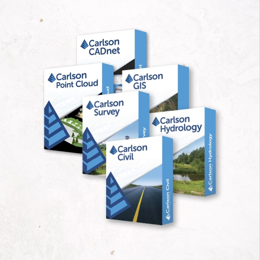
With the Select Suite, customers are able to pick and save between two and six modules in order to fit their specific needs and specialization. The eligible modules are Survey, Civil, Hydrology, GIS, CADnet, and Point Cloud Basic.
Choose Between Two & Six of Our Best Modules
Carlson Works For You!
Carlson Software’s Select Suite is a customizable bundle made up of: Carlson Survey, Carlson Civil, Carlson Hydrology, Carlson GIS, Carlson Point Cloud, and Carlson CADnet. These six civil-related modular programs, working together, provide the ultimate customizable package that dramatically increases productivity while helping users create better designs.
Whether you choose two, four, or een all six, each of Carlson office software modules come with perpetual and maintenance licensing with Carlson customers allowed to own the software and to upgrade when they choose. They come with IntelliCAD® built-in, plus run on top of any AutoCAD®, Civil 3D®, or Map®.
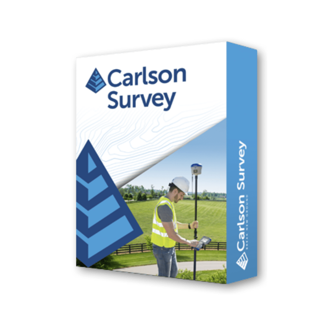
Carlson Survey
Designed to complement land surveying operations & provides a variety of survey features to process data from surface modeling to Least Squares Network Adjustment.
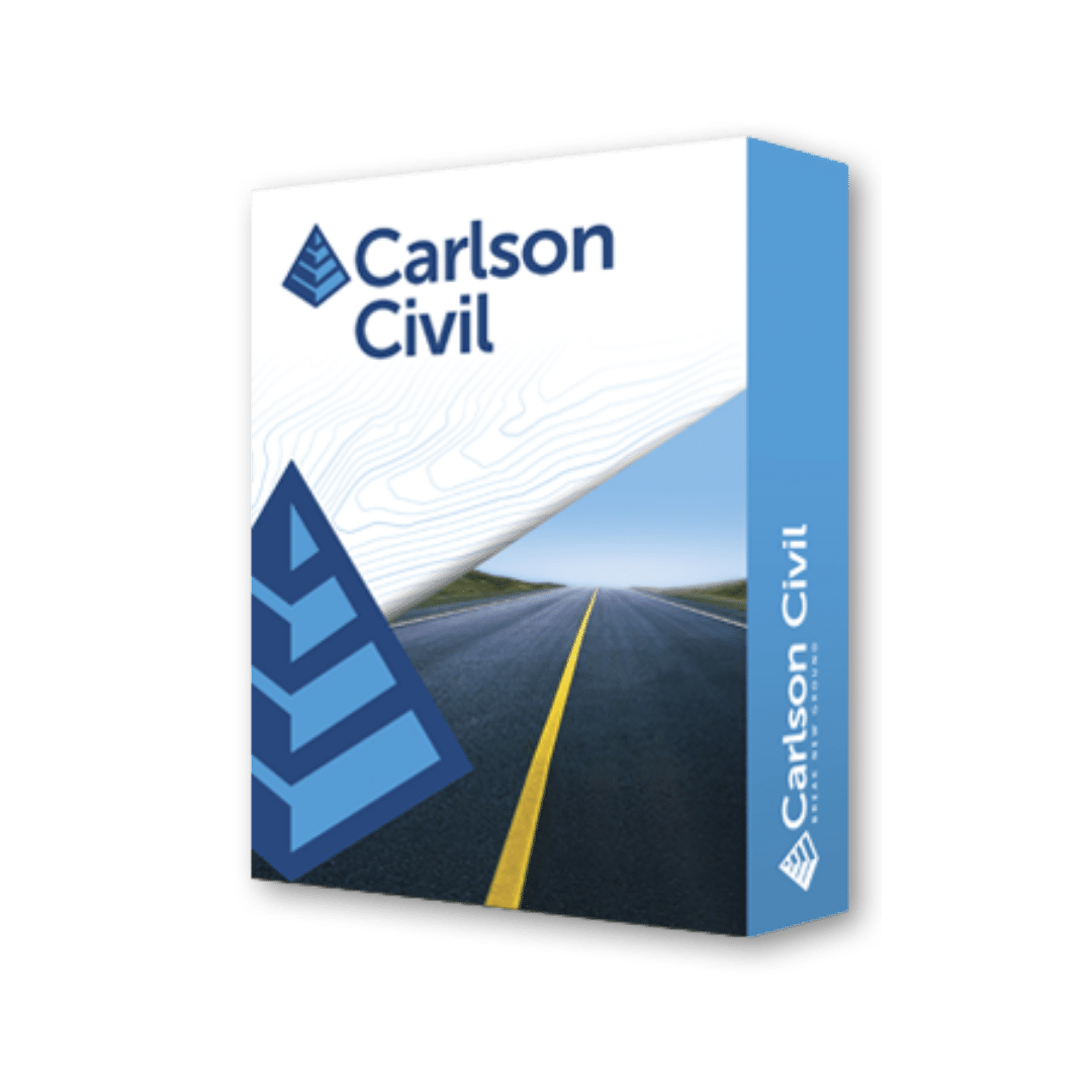
Carlson Civil
Carlson Civil provides the most robust automation and ease-of-use of any civil design solution available today, and it does dynamic updating without a single custom object.
Carlson Hydrology
Comprehensive, yet easy-to-master, Carlson Hydrology provides the automation to meet your hydrology needs and all in the CAD environment of polylines, text, and layers.
Carlson CADnet
Carlson CADnet allows users to create CAD from non-CAD documents such as PDFs, raster images, and paper plans. CAD text can also be generated from raster images with CADnet’s built-in Optical Character Recognition (OCR).
Carlson Point Cloud
Carlson Point Cloud delivers a whole new level of powerful automation for large data sets. It gives laser scanner users the ability to process millions of data points with Carlson Software ease-of-use and also allows users to export surface models, points, contours, breaklines, grid and profiles to CAD.
Carlson GIS
With tools for data capture and linking, data labeling, import/export of SHP files, polygon topology creation and analysis, and more, This is a true GIS “Swiss Army Knife” for the surveyor or engineer.
Get The Job Done Right.
Call or Email us today for more information and boost your productivity with the combined power & performance of the Carlson Select Suite.
Call Us
(+1) 317 223 7653
Email Us
mjsparks@carlsonmidwest.com
